Definition and principle
Uav surveying and mapping refers to a technology of shooting and measuring the target area with high accuracy and efficiency through professional cameras, lidar and other equipment carried by unmanned aerial vehicles.
By acquiring geospatial information of target area in real time, the theory and technology of remote sensing data processing, surveying mapping, environment modeling and analysis can be quickly completed.
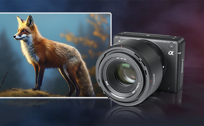
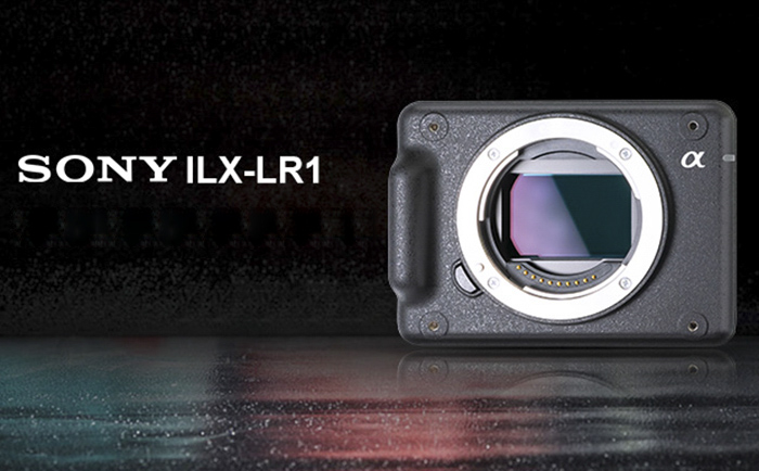
SONY ILX-LR1 extensible full-frame remote control camera is specially designed for UAV inspection, surveying and mapping, and three-dimensional modeling, among which the advantages of UAV surveying are mainly reflected in the accuracy and efficiency of these two aspects.

1. Accuracy
The accuracy of UAV mapping requirements for cameras are mainly reflected in the following aspects:
Camera lens: The camera lens should be a prime focus lens and focus at infinity to ensure the stability of the shooting distance and reduce errors caused by focal length changes. It also has the image stabilization function to reduce the jitter and shift during flight and ensure the stability of the image.
Imaging quality: Imaging effective pixels should not be less than 20 million to ensure that the obtained image has a high enough resolution to capture more detailed information.
Technical parameters:
The maximum shutter speed of the camera is no less than 1/1000s, which helps reduce motion blur, especially when the drone is flying fast or shooting dynamic scenes.
Data storage and power supply:
The camera should have sufficient storage capacity, and it is usually required that the number of images in the camera memory can be no less than 500 to meet the needs of long-term and large-scale mapping.
The camera battery should have enough battery life to support continuous work for at least 2 hours to ensure the smooth completion of the mapping task.
SONY ILX-LR1, when capturing static images, the highest pixel can reach about 61 million, video recording the highest pixel can reach about 50.8 million, compatible with E-bayonet lens group, users can have more choices, from wide Angle to telephoto, from prime focus to zoom, and support image stability, effectively ensure the image quality and image stability.
The SONY ILX-LR1 has a DC input interface, which ensures that the camera can work stably when shooting for a long time or requiring continuous power supply. At the same time, users can choose an SD memory card with the right capacity according to their needs to store larger capacity data without worrying about battery life and data storage issues. In terms of shutter, mechanical shutter or electronic shutter can be selected, and at the same time meet the needs of UAV mapping under different shooting scenes.
SONY ILX-LR1 has demonstrated a high degree of accuracy in drone mapping, meeting the stringent requirements of drone mapping in terms of camera lens, imaging quality, technical parameters, data storage and power supply.
2. High efficiency
Efficiency is also a very important indicator for UAV mapping, and how does SONY ILX-LR1 play its advantage?
High resolution and fast imaging capability:
The 61-megapixel ILX-LR1 is far superior to previous camera devices in terms of image quality, allowing you to zoom in on a single image and obtain details that might previously have required more than three shots. At the same time, it can generate clearer and more detailed images, reducing the difficulty and time of post-processing.
The ILX-LR1 is also more efficient than ever before, with a response time of nearly 2 seconds to take one photo, while the ILX-LR1 takes only about 1 second to take three photos, which helps the drone to quickly cover a large area during flight and improve mapping efficiency.
Compatibility and extensibility:
The ILX-LR1 compact camera has M3 screw holes on all six sides and can be mounted on drones, industrial equipment, robots or submersibles in various positions. In addition, it also has a 1/4-20 UNC screw hole at the bottom, and USB Type-C and Micro HDMI interfaces on the back for easy installation and integration.
Meanwhile, the Sony Camera Remote SDK allows users to remotely control the ILX-LR1’s menus and other functions through their own software applications. By integrating apis into the system, the camera can be controlled remotely from the computer, allowing changes to camera Settings, shutter release, real-time view monitoring, etc., to adapt to future developments in mapping technology and changes in demand.

Lightweight design:
The ILX-LR1 is designed to be very small and lightweight, measuring approximately 100mm wide x 74mm high x 42.5mm deep, and weighing only 243 grams (excluding the display, viewfinder and battery) to reduce the payload and energy consumption of the drone. The lightweight design helps to extend the flight time and coverage of drones, further improving the efficiency of mapping.
3. Specific application
SONY ILX-LR1 is widely used in many scenarios of UAV mapping, including urban and rural construction planning, land resource utilization, environmental protection, geological exploration, mineral development, water conservancy, transportation, etc.
With its excellent accuracy and efficiency, SONY ILX-LR1 has shown a strong advantage in the field of UAV surveying and mapping, providing an efficient and reliable solution for various surveying and mapping tasks, and has a wide range of application prospects and advantages.
 Sony FCB camera block