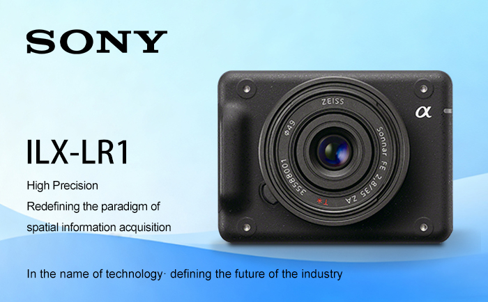
In the field of unmanned aerial vehicles (UAVs), high-precision, lightweight and intelligent imaging equipment has become a core productivity tool in areas such as mapping, inspection and agriculture. The SONY ILX-LR1 full-frame expandable remote control camera, with its outstanding performance of 61 million pixels, lightweight design and powerful expandability, is triggering a technological revolution in these fields, providing industry users with unprecedented solutions.

I. Surveying and Mapping Field: High precision, Reconstructing the paradigm of spatial information collection
In scenarios such as urban and rural construction, geological exploration, and land and resources management, the accuracy and efficiency of surveying and mapping directly determine the success or failure of a project. Traditional mapping equipment is often limited by resolution and shooting range, requiring multiple flights or manual supplementary measurements. However, the SONY ILX-LR1, with its combination of a 61-megapixel full-frame back-illuminated CMOS sensor and an E-mount lens group, has completely changed this situation.
High-precision coverage: In drone mapping, SONY ILX-LR1 can capture the minute deformations at the edges of buildings, the subtle differences in terrain undulations, and even the hidden landforms under vegetation coverage. For instance, in a 3D modeling project of a certain city, a drone equipped with ILX-LR1 can complete the modeling of an area of 1 square kilometer in just one flight, with data accuracy reaching the centimeter level, which is three times more efficient than traditional equipment.
Lightweight design: The body of SONY ILX-LR1 weighs only 243 grams, with a compact size. It can be adapted to various drone platforms such as multi-rotor and composite wings, extending flight time and achieving a significant breakthrough in the daily operation area.
Intelligent shooting control: Through the Sony Camera Remote SDK, users can customize the shooting interval and exposure parameters, and associate them in real time with the GPS data of the drone to ensure the precise geographical location marking of each photo and reduce the workload of post-processing.
Ii. Inspection Field: The leap from manual investigation to intelligent early warning
In scenarios such as industrial inspection, energy pipeline monitoring, and bridge inspection, the timely discovery and handling of potential safety hazards are of vital importance. The SONY ILX-LR1, with high-resolution imaging and remote automated control at its core, builds a high-performance inspection system.
Wind turbine blade inspection: In the practice of a certain wind farm, SONY ILX-LR1, when installed on a drone, can complete the inspection of a wind turbine in about 25 minutes, accurately identifying fine cracks and corrosion points on the blade surface. Through such a combination of advantages, the efficiency of wind turbine blade inspection can be improved by approximately 30%.
Oil pipeline inspection: By integrating a telephoto lens with AI algorithms, SONY ILX-LR1 can penetrate vegetation coverage and identify tiny leakage points in underground pipelines.
Bridge structure monitoring: Combined with an electric zoom lens, the SONY ILX-LR1 can dynamically adjust the shooting range to capture diseases in hidden parts such as bridge cables and beam joints. In the inspection of a certain cross-sea bridge, the system achieved fine-level deformation monitoring and provided early warnings of potential safety risks.

Iii. Agricultural Sector: An Upgrade from Experience-based Planting to Data-driven
In the era of smart agriculture, high-precision image data is needed to support the monitoring of crop growth, pest and disease control, and yield prediction. The SONY ILX-LR1, with its high pixel quality and flexible adaptability, makes it an ideal partner for agricultural drones.
Crop growth monitoring: The 61-megapixel image of SONY ILX-LR1 can clearly distinguish physiological indicators such as chlorophyll content and water distribution on crop leaves. Combined with a multispectral lens, it can precisely identify areas lacking nitrogen, phosphorus and potassium.
Farmland boundary mapping: Equipped with a wide-angle lens, SONY ILX-LR1 can quickly generate high-precision digital maps of farmland, providing basic data for autonomous driving of agricultural machinery.
Iv. Technology Empowerment: Open Ecosystem, Infinite Possibilities
The competitiveness of SONY ILX-LR1 does not only stem from its hardware performance, but also from its open software ecosystem and flexible expansion capabilities:
SDK Remote control: Supports the development of custom applications through Sony Camera Remote SDK to achieve real-time adjustment of camera parameters, automatic scheduling of shooting tasks, and even deep integration with the unmanned aerial vehicle flight control system.
Multi-scenario adaptation: The six-sided M3 screw hole design supports the installation on multiple platforms such as drones, robots, and handheld stabilizers. The DC power supply interface shares power with the drone battery, extending the endurance time. The USB Type-C and Micro HDMI interfaces meet the requirements of high-speed data transmission and real-time monitoring.
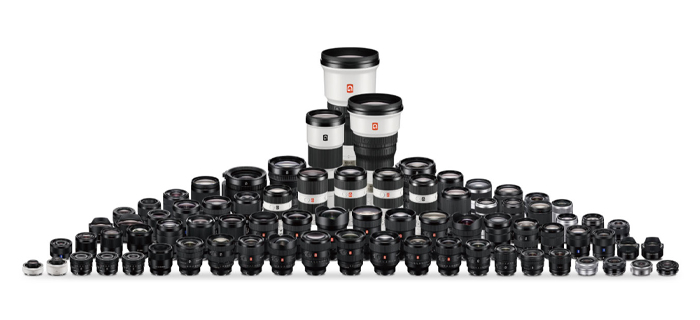
Rich lens ecosystem: Compatible with all SONY E-mount lenses, covering from 12mm ultra-wide-angle to 600mm ultra-telephoto, meeting the needs of all scenarios from macroscopic terrain mapping to microscopic equipment inspection.

Conclusion: Define the future of the industry in the name of technology
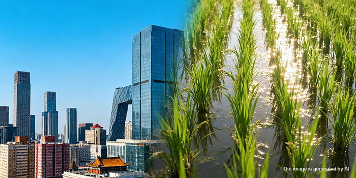
From the city skyline to the farmlands, from the energy arteries to the industrial backbone, SONY ILX-LR1 is redefining the technical standards in fields such as mapping, inspection, and agriculture with its 61-megapixel ultimate precision, lightweight design for free adaptation, and an open ecosystem of intelligent control. It is not merely an innovation in tools, but also a leap in industry productivity – making data collection more efficient, potential hazard identification more accurate, and decision support more scientific.
 Sony FCB camera block